Survey the lane
Record approach, expected speed, vehicle types, stopping behavior, mounting position and field of view for every direction of travel.
 Request an estimate
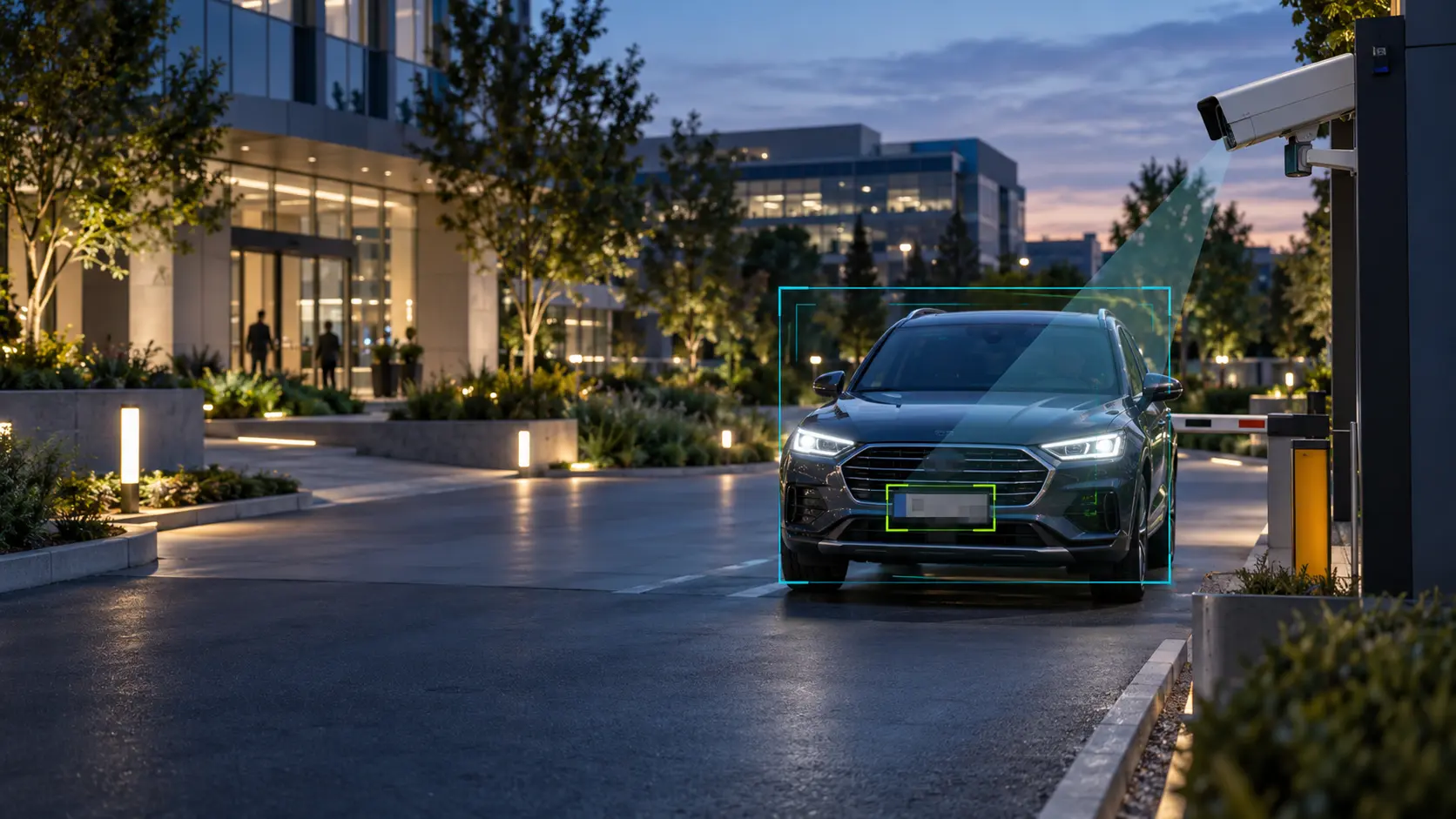
Turn entrances, parking areas, perimeters, and operational zones into searchable business intelligence.
Request an assessment ↗Terapixels designs LPR and analytics around the required capture point, vehicle speed, angle, lighting, lane geometry, watchlist workflow, reporting, privacy, and network architecture.
These are representative platforms Terapixels can evaluate and support. Final selections follow the site assessment and customer requirements.
Plate capture depends on lane geometry, vehicle speed, angle, distance, headlight glare and day and night lighting. An overview camera may show a car yet still fail to capture a usable plate.
Record approach, expected speed, vehicle types, stopping behavior, mounting position and field of view for every direction of travel.
Separate investigative search, approved vehicle lists, gate decisions and operational counts; assign access, retention and data-handling responsibilities.
Test daytime, dusk and darkness, representative plates, entry and exit movement, event matching and integration with access or parking workflows.
What to request: A project record should identify camera locations, capture targets, lighting assumptions, data retention, access permissions and field acceptance results.
Document conditions, risks, users, workflows, infrastructure, and existing assets.
Define coverage, architecture, products, integrations, responsibilities, and budget.
Install, configure, test, commission, document, and train your team.
Monitor health, respond to issues, maintain knowledge, and plan the lifecycle.